
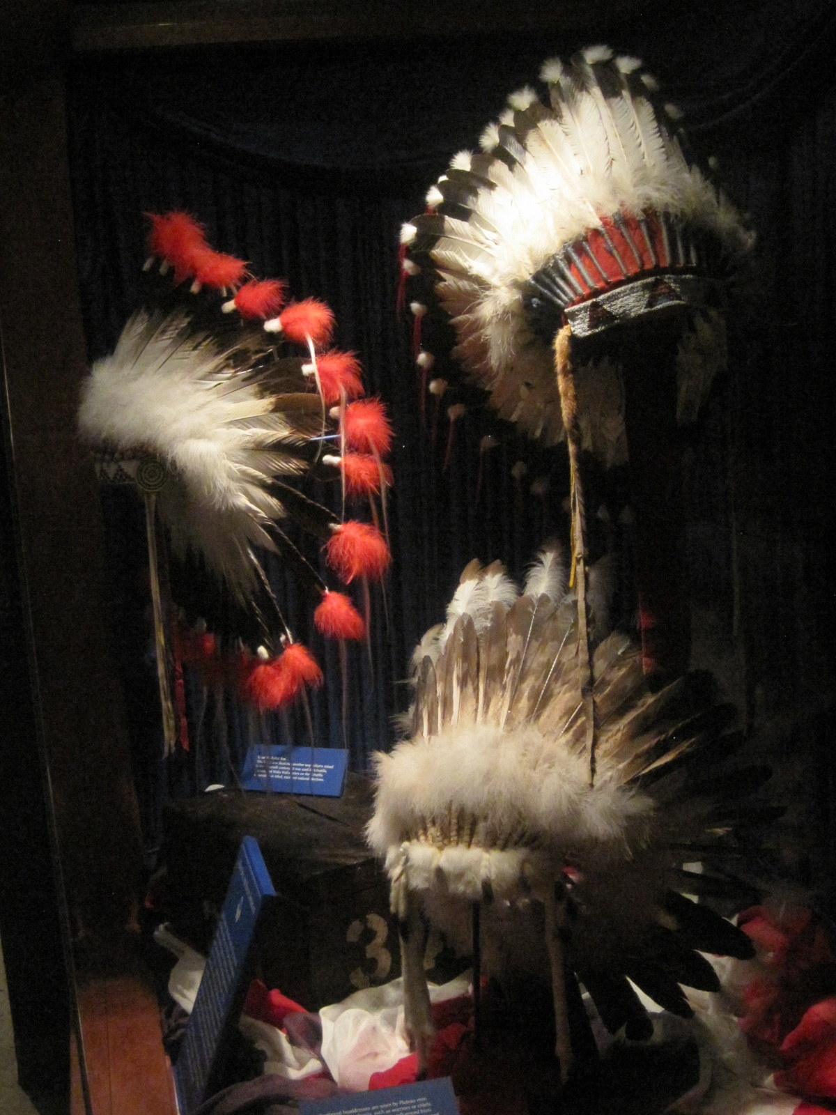
Indian Head Dresses
Photo by Roni McFadden
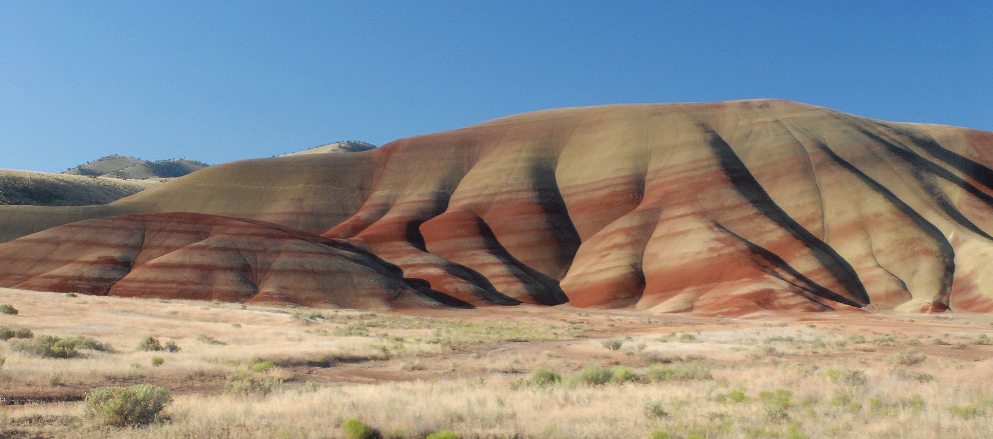
While attending the Women Writing the West Conference this past October, I had the great pleasure of visiting the High Desert Museum in Bend, Oregon, an excellent all-encompassing museum with many outstanding exhibits.
A temporary exhibit while we were there was “Tough by Nature: Portraits of Cowgirls and Ranch Women of the American West” which showcased Artist Lynda Lanker. Lanker’s heart-felt exhibit features charcoal and graphite drawings as well as stone and plate lithographs, acrylics, oil pastels, and egg tempera. These pictures honor the spirit and stories of ranch women and cowgirls who earn their sustenance and livelihood from the land.
Another temporary exhibit features the work of Edward S. Curtis who spent 30 years beginning in the late 1800s creating a photo-ethnographic study of the North American Indian. Curtis’ collection is widely considered the finest limited edition books ever made in the U.S. The High Desert Museum holds the complete set of the 20 bound volumes of The North American Indian.
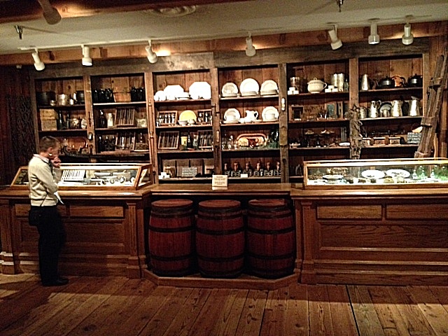
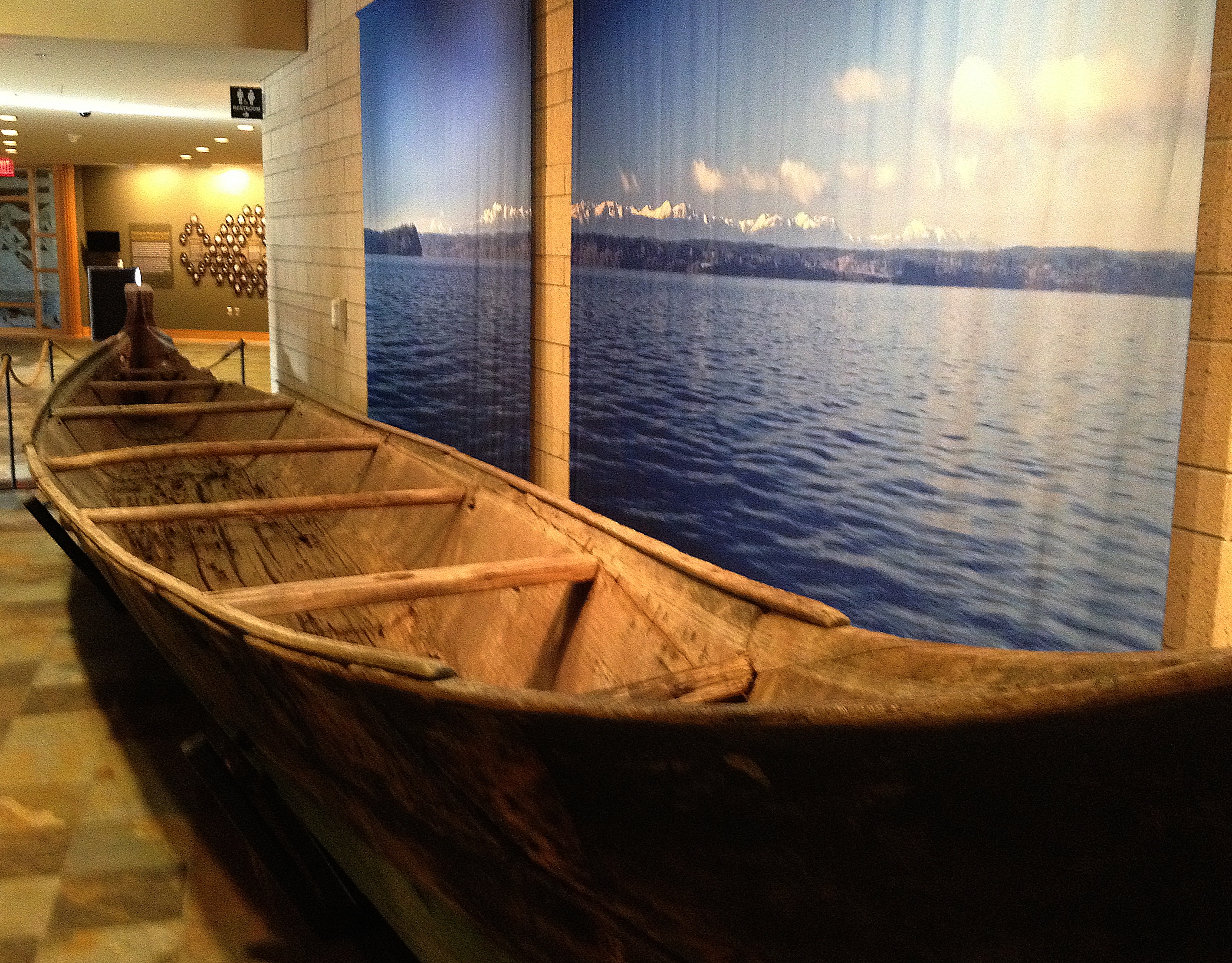
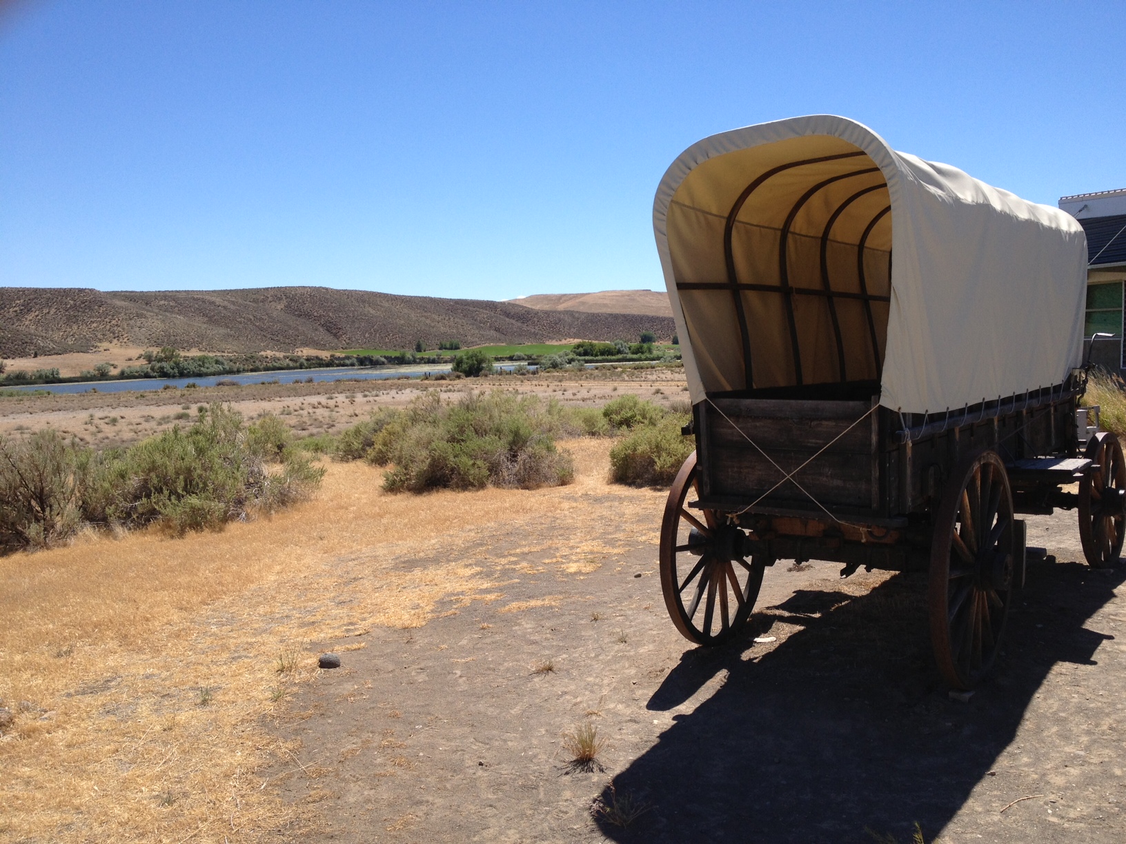
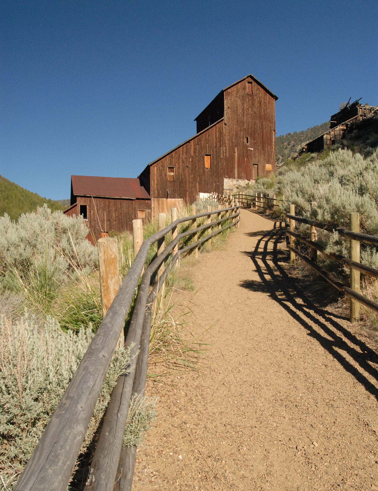
The museum has several permanent exhibits. “Spirit of the West” is ever popular and starts with a stroll past a Northern Paiute shelter and a French trapper’s camp. The details depicted are in incredible detail with the sights and sounds of an Indian camp, a settler’s cabin, a hard rock mine, and into Idaho’s old Silver City.
“By Hand Through Memory,” another permanent exhibit, takes visitors through the Plateau Indian Nations’ journey as they traveled from reservation confinement to the 21st Century. Their struggle to retain cultural identity is both poignant and moving.
The High Desert Museum gives visitors a chance to see close-up in both indoor and outdoor displays of live owls, hawks, eagles, falcons, a Canadian lynx and bobcat. None of the animals cared for at the Museum can be released to the wild, either because of injuries or because, separated from their mothers, they never learned to hunt or avoid predators.
Another enlightening permanent exhibit is the Miller Family Ranch where visitors can meet the characters and watch as they do chores (be careful, or you’ll get roped into lending a hand).
As visitors walk around inside the different sections of the building, the outside is brought in by spacious windows looking out on meandering streams in woodsy settings.
The famous Henry James Monk stagecoach, a sawmill, ranger station, a nature walk–it’s all there. If you’re in the Bend, Oregon area, don’t miss this very special museum.
To learn more about the high Desert Museum and read about current and future exhibits, visit http://www.highdesertmuseum.org/